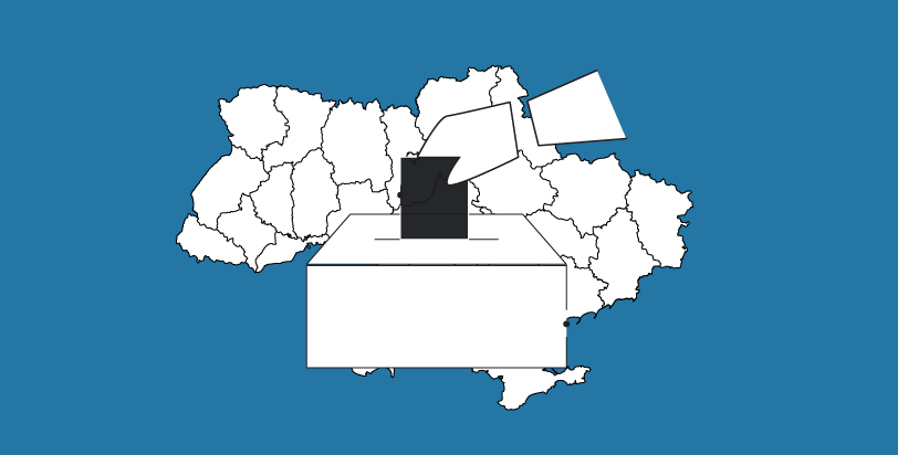
OPORA has developed an interactive map of Ukraine, displaying the boundaries of new raions and communities, as well as information about the number of voters and types of election systems, which will be applied in autumn 2020 local elections already.
The reform of local self-government and territorial organization of governance is still being realized in Ukraine. In particular, the territorial and administrative system has changed. In July 2020, the Verkhovna Rada liquidated 490 districts and created 136 new ones (Resolution #3650 on the Formation and Liquidation of Districts). Besides that, territorial communities have been established within each oblast. Thus, the map of Ukraine comprises 1470 communities, not including the territory of Crimea.
The map developed by OPORA shows how many new districts are formed in each region and their boundaries. In addition to the subregional level, there is information about local communities.
Zoom in to see raions, and zoom in even more to see information about communities.
On 25 October 2020, Ukraine has regular local elections. Ukrainian will choose members to local, raion or oblast councils, as well as community heads.
According to the Election Code, election system to be used depends on the number of voters in an administrative unit. Thus, elections in territorial communities with under 10 thousand voters will be held under the relative majority election system in multi-member districts. Candidates can be either nominated by parties, or independent. Communities with 10 thousand voters or more will hold their elections under open-list proportional representation system. This electoral system is completely new for Ukraine. Candidates to such councils can be nominated by parties only. However, citizens vote not only for a party but also for a specific candidate on its regional list and thus affect the chance of candidate to be elected, regardless of his or her number on the list.
Besides that, different councils (even at the same level) will have different number of members. It also depends on the number of voters living in the given community.
If you click on an oblast / raion / community of Ukraine on OPORA's map, you can also view information on:
- number of voters (as of 08.31.2020);
- increase in the number of voters due to the procedure of changing the electoral address (EA - on the map);
- type of electoral system used to elect members to the relevant council or a community head;
- number of seats in the relevant council;
- amount of cash deposit;
- registered candidates (in development).
Please note that the map uses a number of abbreviations in the names of electoral systems:
- the majority system is a multi-member relative majority electoral system;
- the proportional system is an open-list proportional electoral system;
- the absolute majority (2 rounds) is an absolute majority electoral system;
- the relative majority (1 round) is a relative majority electoral system.
Find the map at: https://www.oporaua.org/longrid/map_2020.html
If you have questions about the functioning of the map or have noticed an error, please write at [email protected]
We thank Fedir Gontsa for assistance in map development (website: https://fedir.gontsa.com/)
More information on electoral systems and the impact of local government reform on 2020 local elections:
- How the new proportional electoral system will work in local elections
- Which majority electoral systems will be used in local elections
- How to use a new proportional system in local elections
- How local government reform has affected local elections